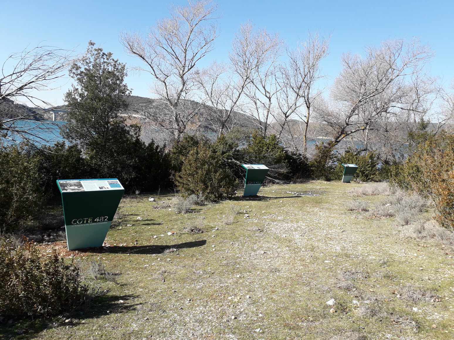
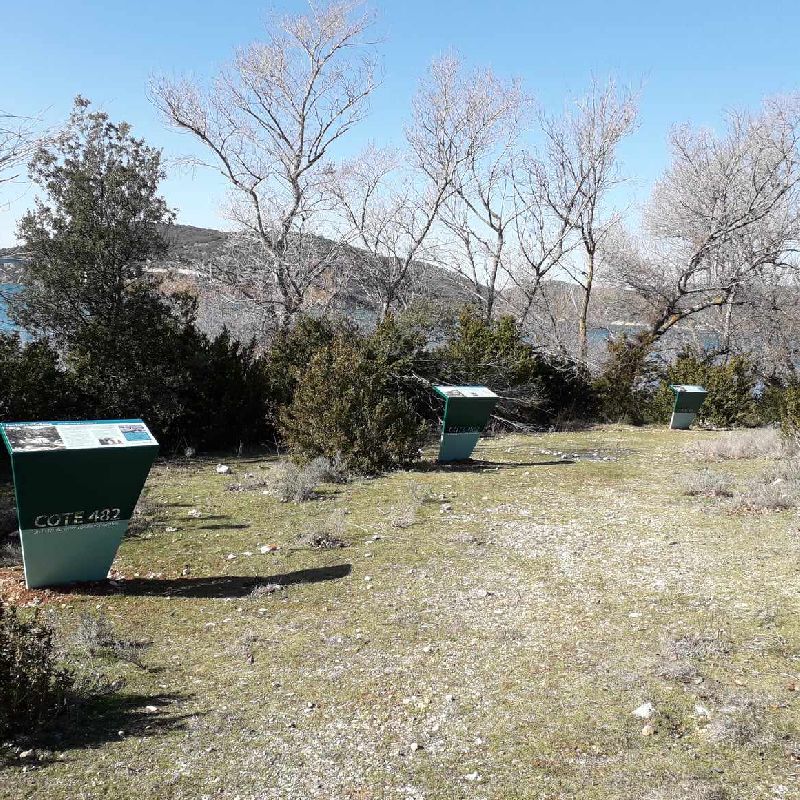
Before the Sainte-Croix dam was filled with water in 1974, Sulagran was the name of a hill that dominated the hamlet of Fontaine-l’Évêque, located around the Sorps spring, then one of the most important resurgences in France.
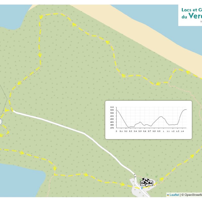
Distance : 1.5(km)
Route type: BOUCLE
Duration : 45(min)
Free access.
Phone 00 33 (0)9 67 73 43 25
Modified from 11/05/2026 by "Office de Tourisme Intercommunal Lacs et Gorges du Verdon".
All year round daily.
Before hiking, check whether access to forest areas is authorised: https://www.risque-prevention-incendie.fr/var/.
Subject to favorable weather.
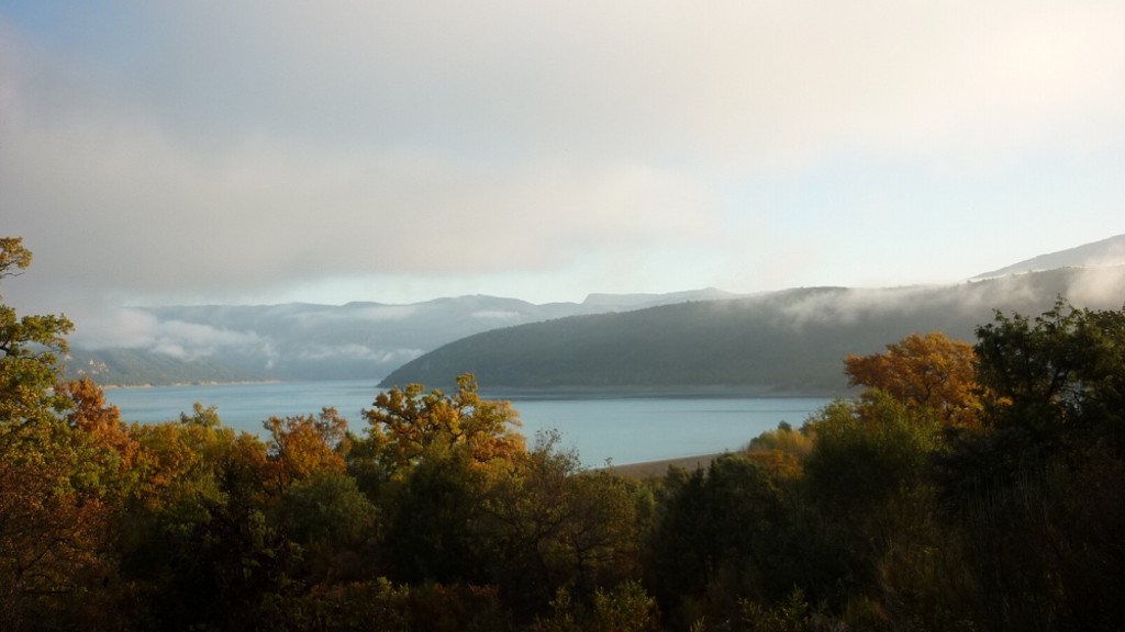
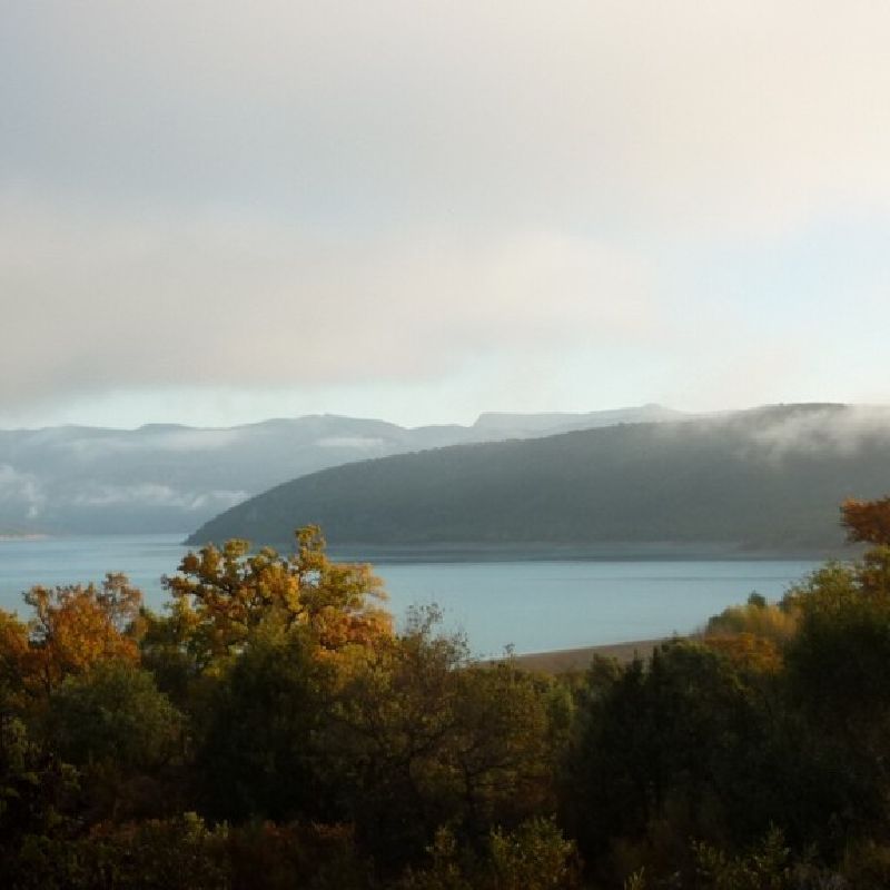
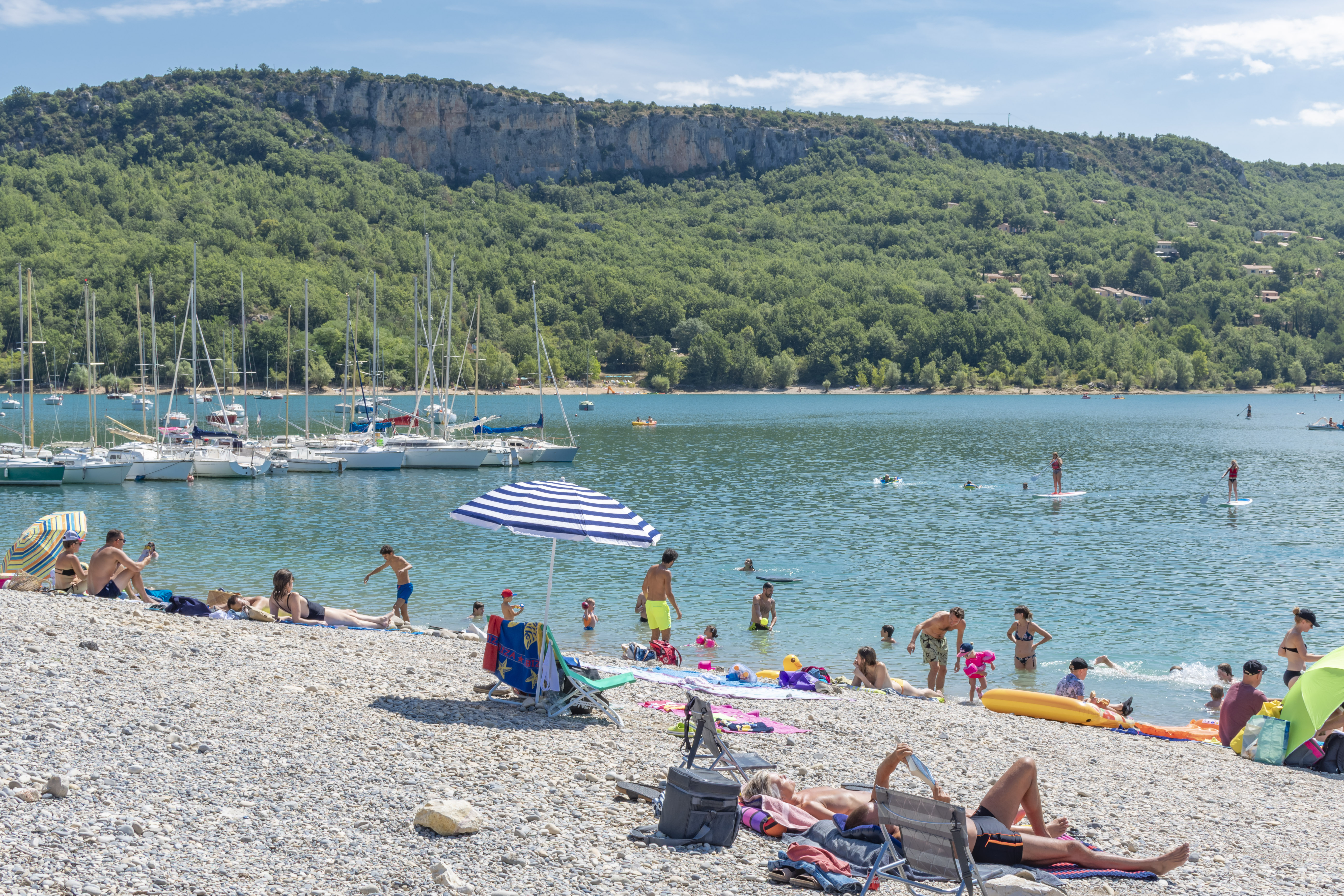
An idyllic landscape !
Discover the beautiful beach of Sulagran in Bauduen, ideal spot for windsurfing.
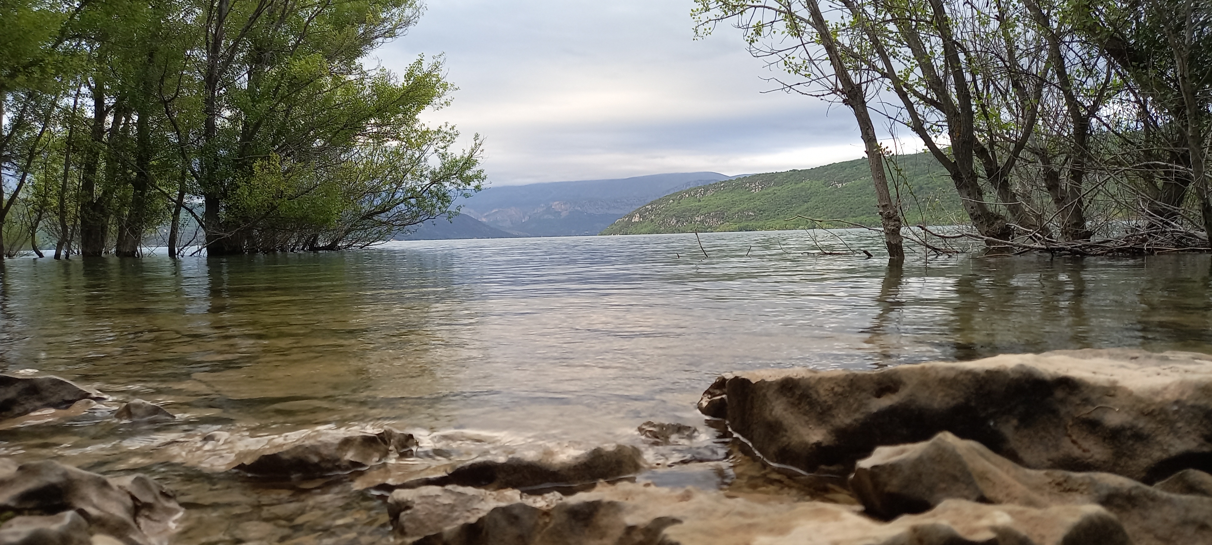
An idyllic landscape ! The Sainte-Croix lake is the 2nd largest artificial lake of France (22 square kilometres).
The walking tour of the Sainte-Croix lake takes you on a journey through time and water. It invites you to feel the spirit of the place as you meet 6 villages whose destiny was turned upside down by the building of a dam in the 1970s.
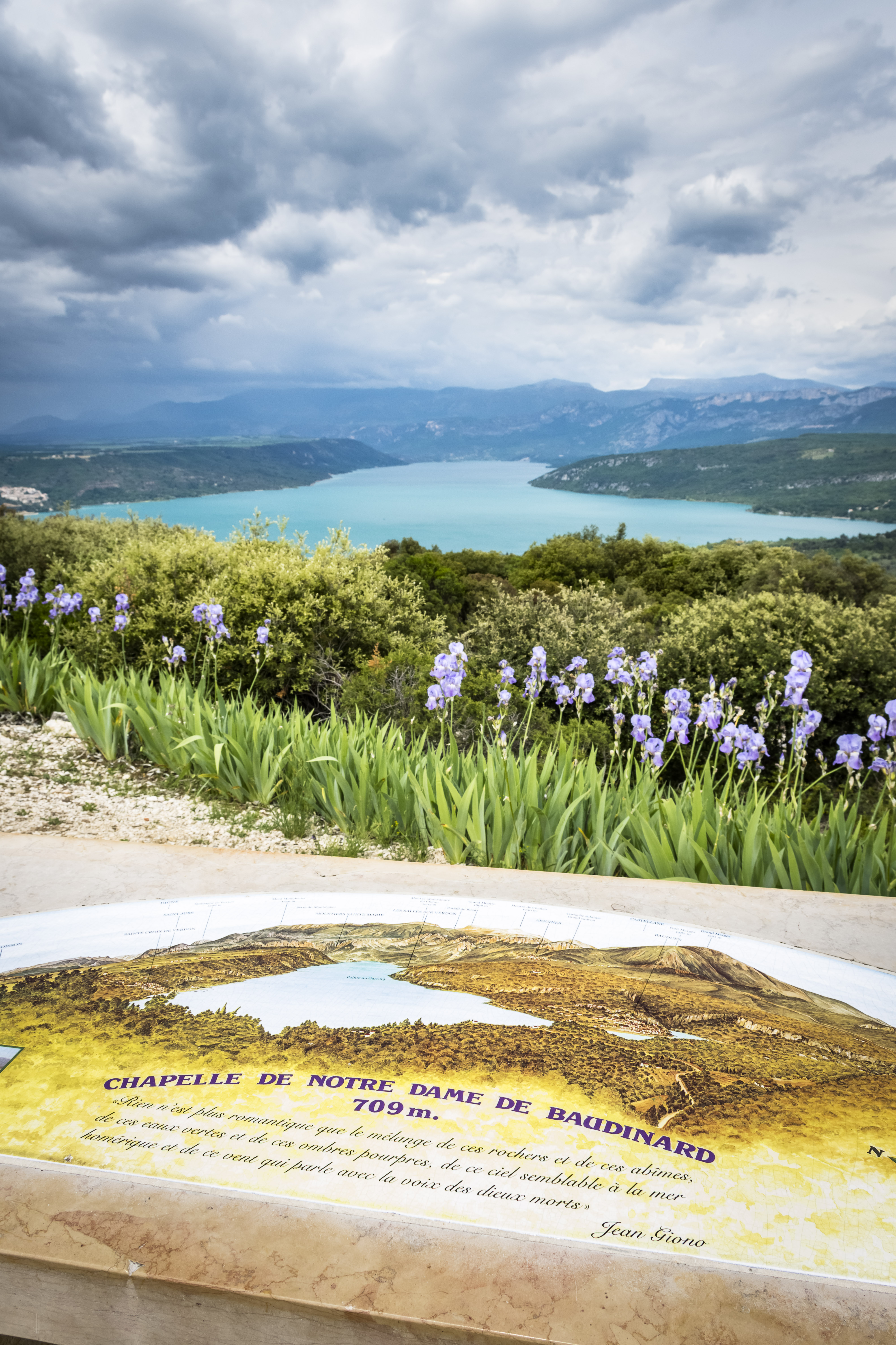
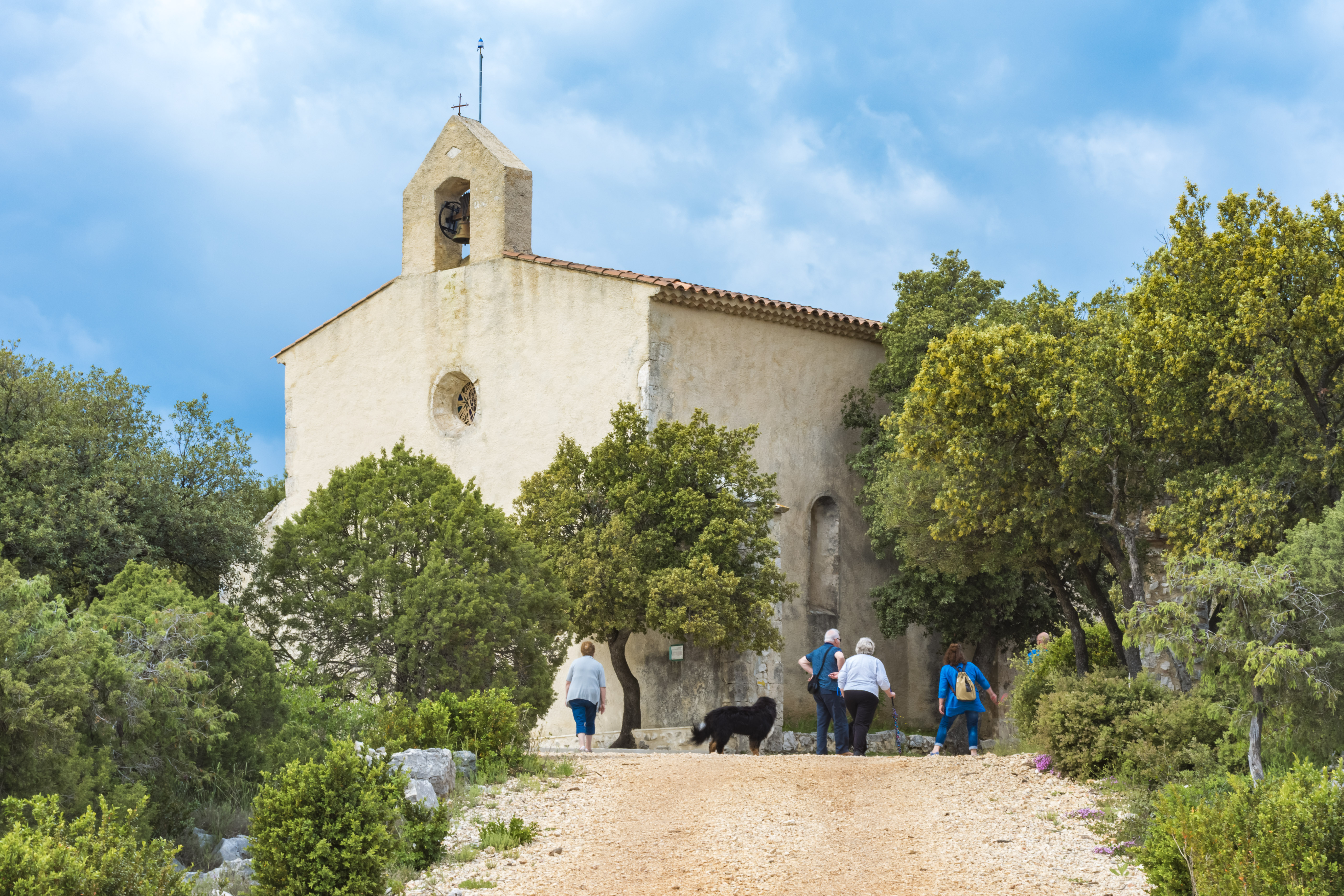
Climb to the top of the Haute Eouvière hill to discover the Chapel of Notre-Dame de la Garde. It stands at an altitude of 709 m, and from here you can enjoy an incredible view over the Sainte-Croix lake and six departments.
 Envoi en cours ...