Envoi en cours…
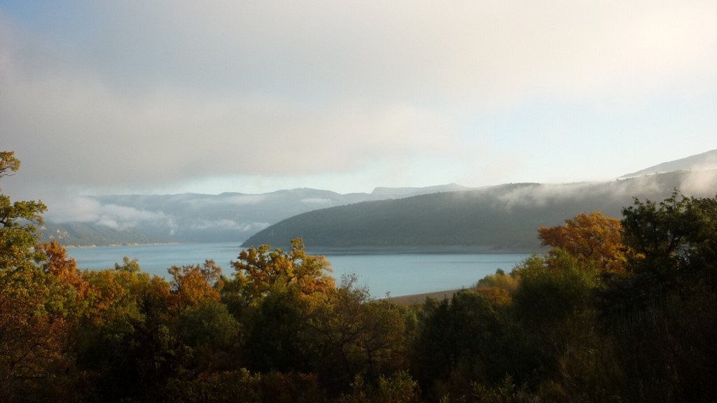
Sulagran path
BAUDUEN
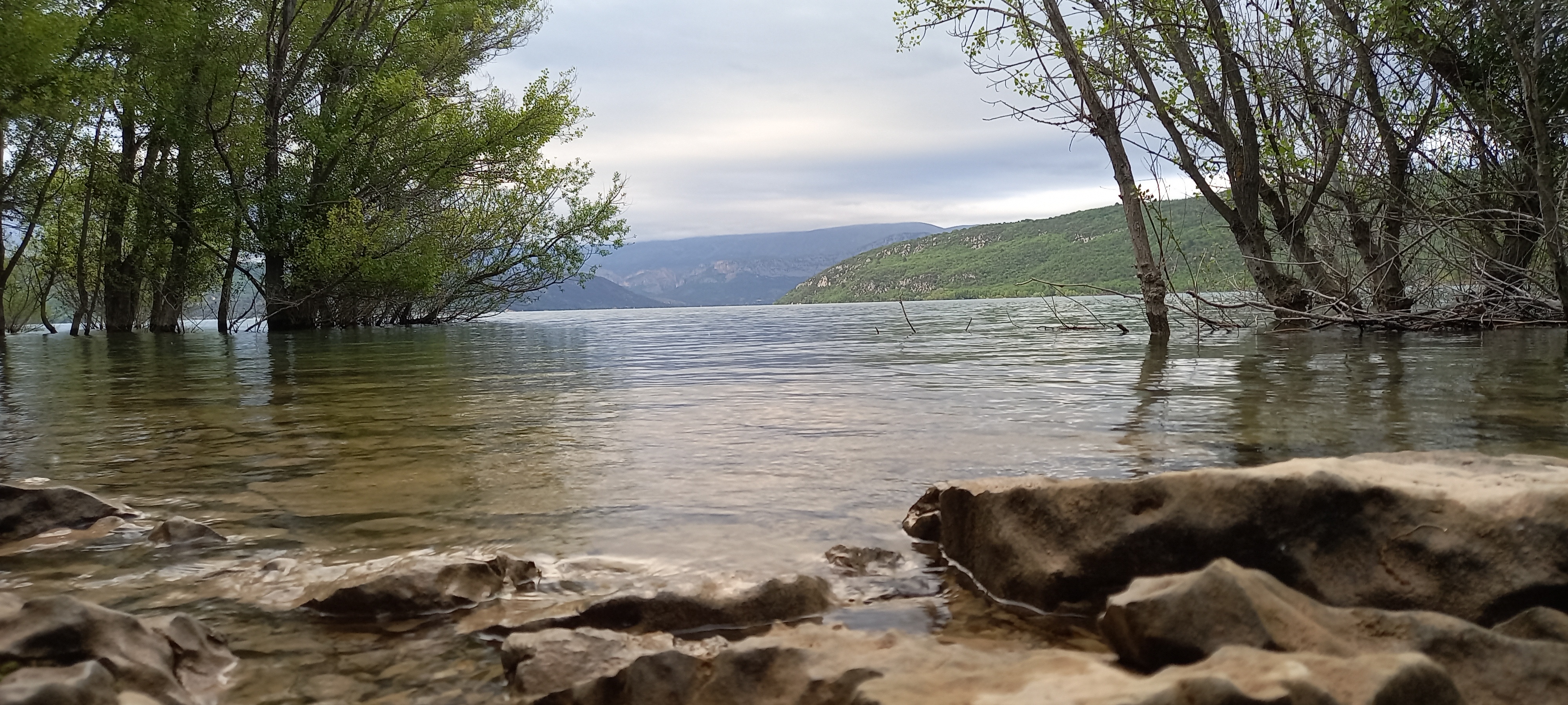
Before the Sainte-Croix dam was filled with water in 1974, Sulagran was the name of a hill that dominated the hamlet of Fontaine-l’Évêque, located around the Sorps spring, then one of the most important resurgences in France.
Between kilometre posts 22 and 23, (GPS point: 43.731192,6.159441), follow the track down towards the lake for 500 m and park the car.
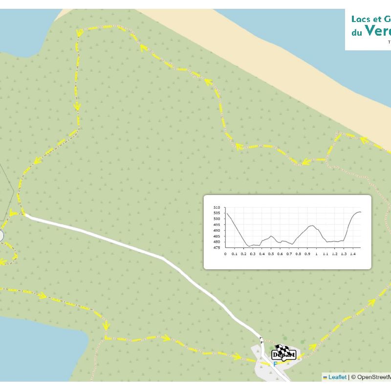
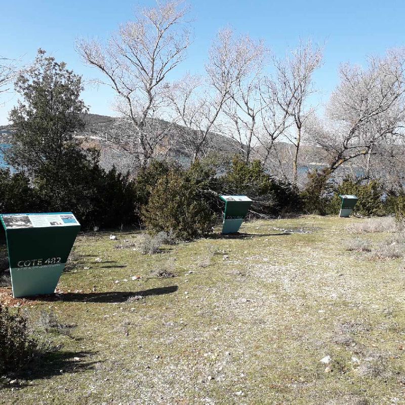
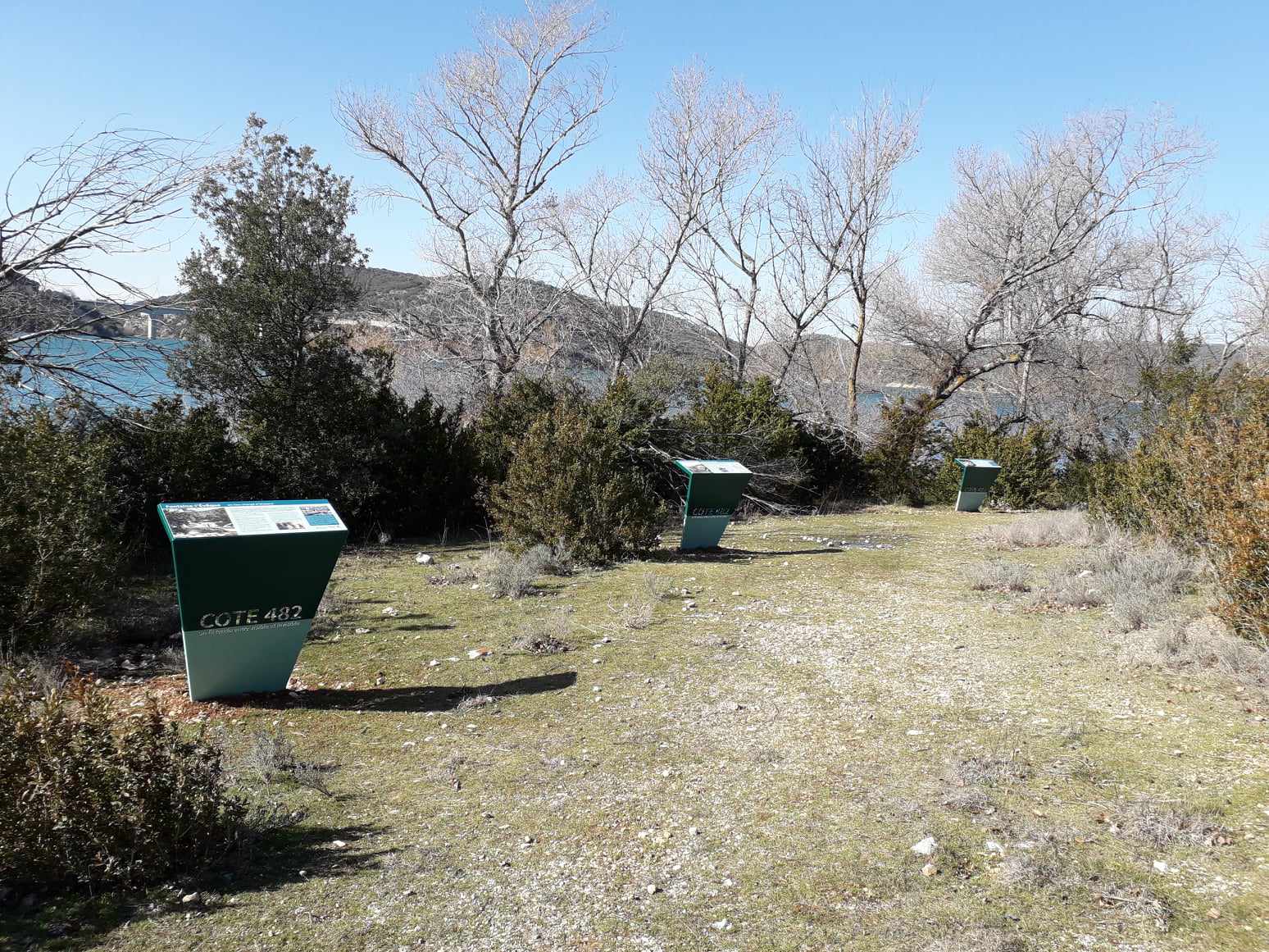
At the “Lake” sign, go to the right following the marking. At the sign, turn left towards the lake. At the water’s edge, turn left. Drought-resistant plants and limestone cracks can be seen in this area. Take the track on the left until the pumping station. At the crossroads, follow the sign ‘’Fontaine-L’Évêque’’ to the right, towards the lake. At the next crossroads, interpretation panels on the right explain the Fontaine-l’Évêque resurgence. Retrace your steps and continue straight ahead on. Turn left and follow signs to go back to the parking.
To see the hike on the map, click here: https://shorturl.at/HuDpu
Facilities
- Car park
- Free car park
- Bicycle parking
Services
- Pets welcome
Durations
- Session duration : 45 min
Activity information
Distance : 1.5 km
Route type: Boucle
Duration : 45 min
Prices
Free access.
More information
Galery
Contact
83630 - BAUDUEN
Modified from 11/05/2026 by "Office de Tourisme Intercommunal Lacs et Gorges du Verdon".
Openings
All year round daily.
Before hiking, check whether access to forest areas is authorised: https://www.risque-prevention-incendie.fr/var/.
Subject to favorable weather.
À voir aussi
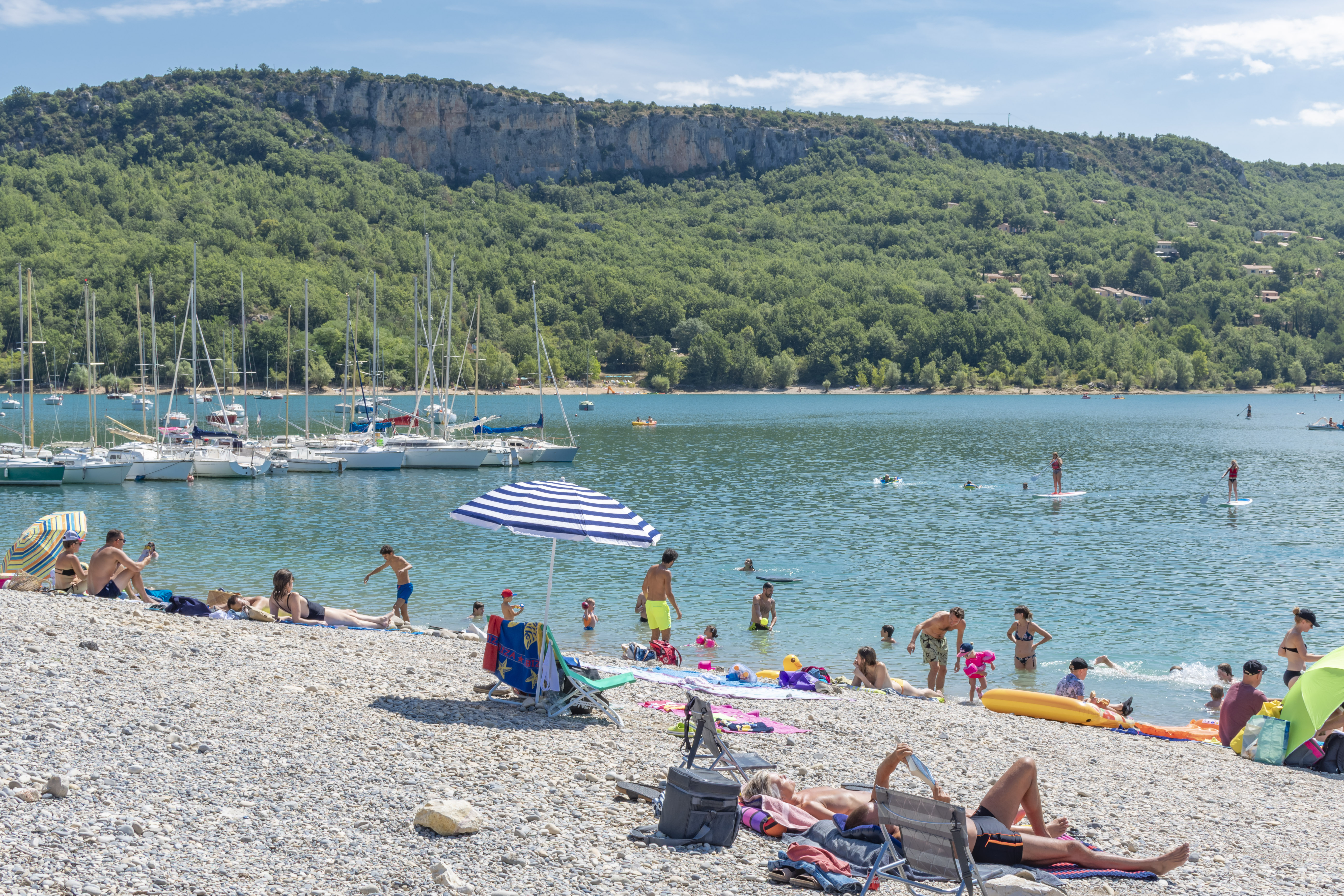
Sulagran Beach
An idyllic landscape !
Sulagran windsurfing spot
Discover the beautiful beach of Sulagran in Bauduen, ideal spot for windsurfing.

Sainte-Croix lake and the beaches of Bauden, of Chaumets, of Sulagran and Petite ruine
An idyllic landscape ! The Sainte-Croix lake is the 2nd largest artificial lake of France (22 square kilometres).
Walking tour of the Sainte-Croix lake: Stage 3 - Baudinard-sur-Verdon - Bauduen
The walking tour of the Sainte-Croix lake takes you on a journey through time and water. It invites you to feel the spirit of the place as you meet 6 villages whose destiny was turned upside down by the building of a dam in the 1970s.
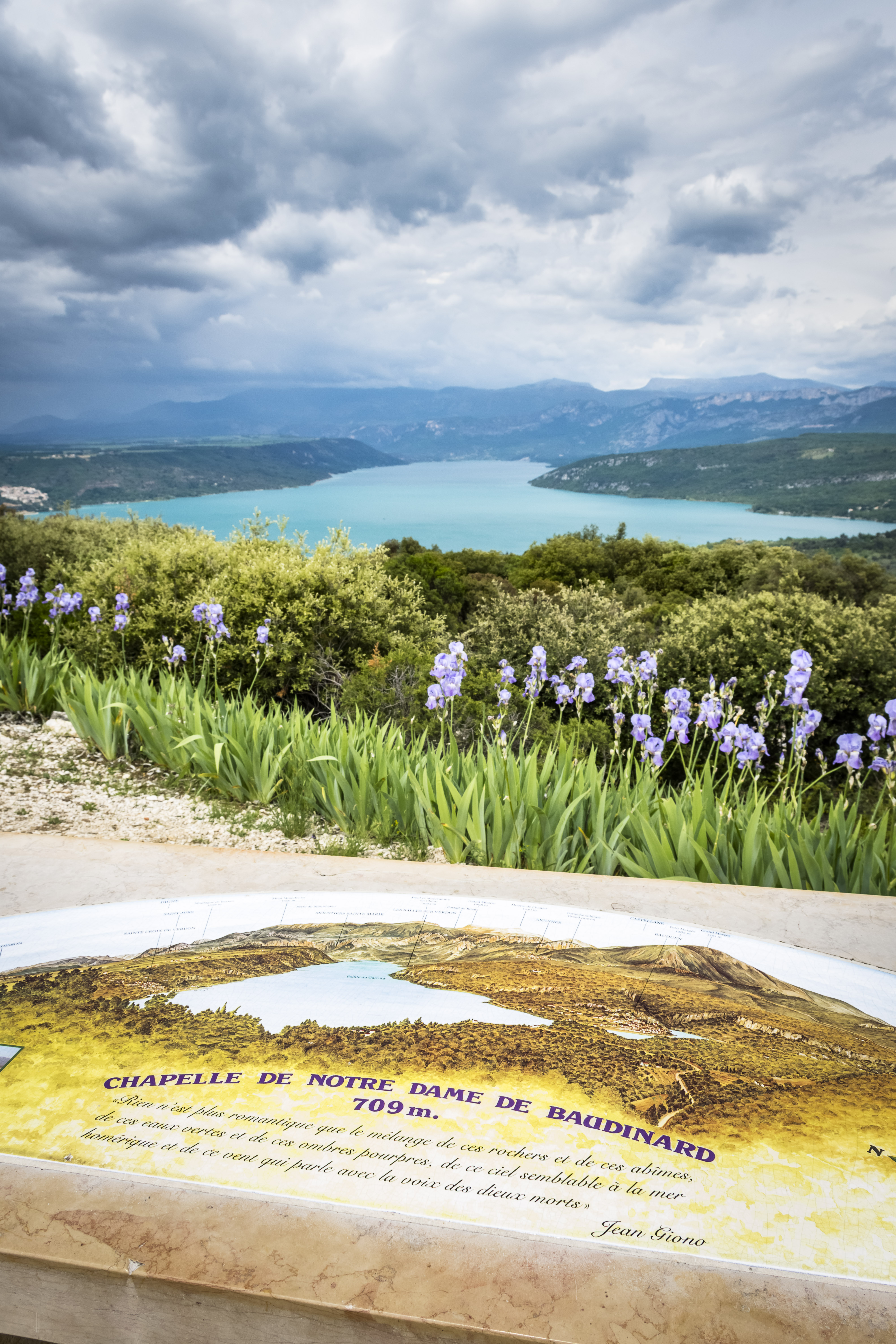
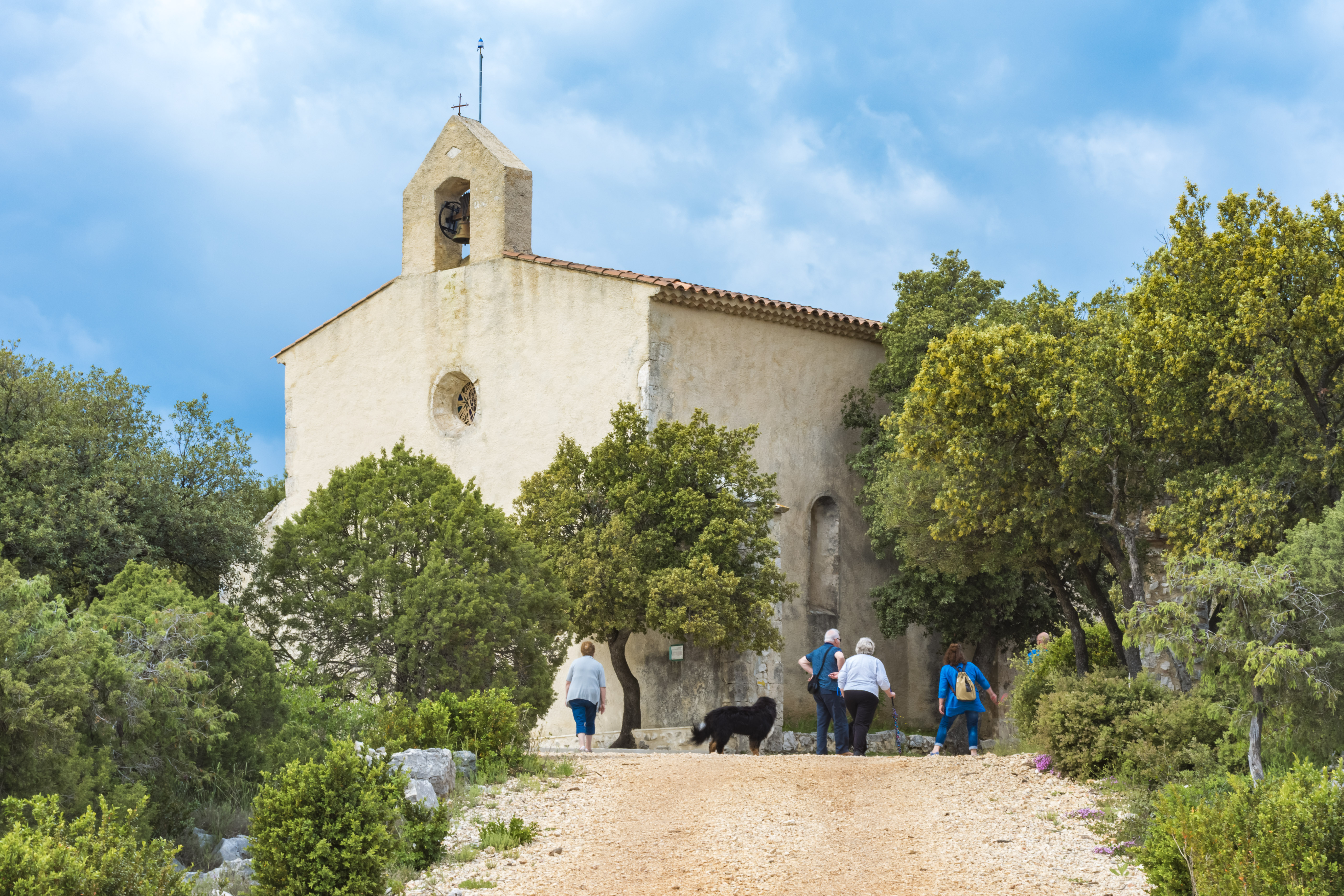
Chapel of Notre-Dame de Baudinard
Climb to the top of the Haute Eouvière hill to discover the Chapel of Notre-Dame de la Garde. It stands at an altitude of 709 m, and from here you can enjoy an incredible view over the Sainte-Croix lake and six departments.
242, avenue Albert 1er, 83630 Aups | +33 4 94 70 21 64 | Contact us